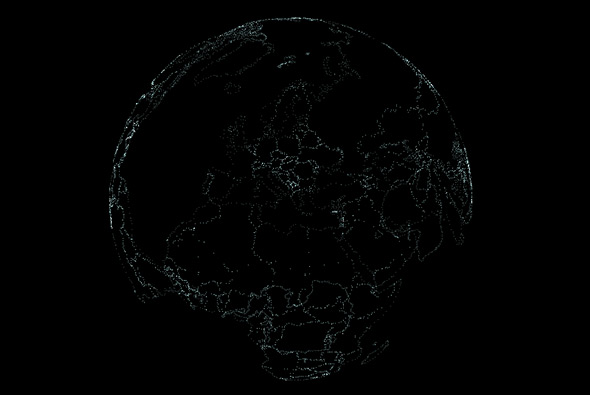
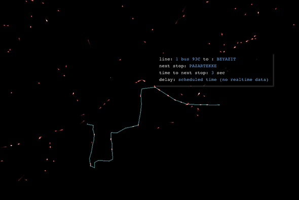
Publicly available data rendered on a 3d globe, so far showing a handful of cities – such as Amsterdam, Istanbul, and Helsinki – information such as public transport lines, census, and even an example of live traffic data. All this info is drawn up with lines and blobs to illustrate intensity – the minimal design really accentuates the lines, dots and blobs. Love the way the city streets are drawn up with the real time traffic data in Amsterdam.
Created by Laurens Schuurkamp (@waag).


